You probably think America's longest bridges span famous bays in California or cross deep river canyons in the Northeast. Honestly, that's exactly what most people get wrong. If you look at a map of the absolute longest bridges in the United States, you'll see a wild geographic obsession. Almost all of them are clustered in the American South, and one single state owns the entire podium.
Louisiana dominates the list. It's not because they love concrete more than anyone else, but because they have to get cars across miles of relentless, shifting swampland.
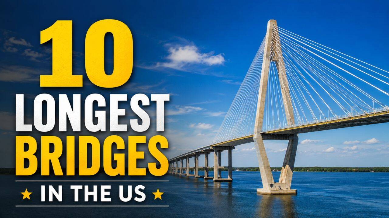
Whether you're planning a massive American road trip or you just want to understand the sheer scale of these engineering marvels, here's what the record books actually look like when you filter out the myths and focus on the real numbers.
The True Giants of American Engineering
Building a bridge over a river is tough. Building a bridge that stretches beyond the horizon over open water or ancient mud is a totally different beast. Here are the ten longest structures in the country ranked by actual length.
1. Lake Pontchartrain Causeway (Louisiana)
The undisputed king. Stretching 23.83 miles, this monster connects Metairie and Mandeville across the New Orleans metro area. It's so long that for about eight miles in the middle, you literally can't see land in any direction.
The first two-lane span opened back in 1956, and they added a parallel twin in 1969 to handle the traffic. It still holds the Guinness World Record for the longest continuous bridge over water anywhere on the planet.
2. Manchac Swamp Bridge (Louisiana)
Just a hair shorter than the leader, this twin concrete trestle bridge carries Interstate 55 for 22.8 miles directly over the Manchac Swamp.
Opened in 1979, each pile had to be driven roughly 250 feet deep into the swamp mud just to find stable ground. Local legends say the swamp is haunted, but the real terror for drivers is just how long the unchanging scenery lasts.
3. Louisiana Airborne Memorial Bridge (Louisiana)
Most locals call this the Atchafalaya Basin Bridge. It carries Interstate 10 for 18.2 miles between Lafayette and Baton Rouge.
Completed in 1973, it's actually a pair of parallel structures that only merge when they cross the Whiskey Bay Pilot Channel and the Atchafalaya River. It's notoriously tight, features zero shoulders for long stretches, and sees massive freight traffic every single day.
4. Chesapeake Bay Bridge-Tunnel (Virginia)
This is easily the strangest and most complex entry on the list. Spanning 17.6 miles, it connects Virginia's Eastern Shore with the Virginia Beach and Norfolk region.
It doesn't just stay above water. To allow massive naval ships and cargo vessels from the Atlantic into the bay, the road drops entirely underwater into two separate one-mile tunnels before popping back up onto elevated concrete trestles.
5. Bonnet Carré Spillway Bridge (Louisiana)
Louisiana re-enters the chat. This 11-mile section of Interstate 10 rides right over the Bonnet Carré Spillway, Lake Pontchartrain, and the LaBranche wetlands.
Built in 1972, its main job is to keep interstate traffic moving even when the Mississippi River swells and engineers have to open the floodgates to save New Orleans from drowning.
6. Louisiana Highway 1 Bridge (Louisiana)
This toll bridge stretches for 8.26 miles over the coastal marshes of Bayou Lafourche.
Opened in 2009, it serves a highly critical economic purpose: it's the only elevated highway linking the mainland to Port Fourchon, the massive hub that services a huge chunk of America's offshore oil and gas infrastructure in the Gulf of Mexico.
7. Jubilee Parkway (Alabama)
Alabama breaks the Louisiana streak with these twin viaduct-style bridges. Spanning 7.5 miles across the northern end of Mobile Bay, they've been carrying Interstate 10 traffic since 1978. It's a gorgeous drive at sunrise, but the heavy coastal fog can make it incredibly sketchy during winter mornings.
8. San Mateo-Hayward Bridge (California)
The longest bridge in California isn't the Golden Gate. It's this 7-mile workhorse that links the San Francisco Peninsula to the East Bay.
While the eastern side is a low-slung concrete trestle, the western side features a massive high-level steel beam span designed to let ships glide underneath into the southern reaches of the bay.
9. Seven Mile Bridge (Florida)
Hollywood loves this one. You've seen it in True Lies, 2 Fast 2 Furious, and Licence to Kill. Connecting Marathon to Little Duck Key in the Florida Keys, it actually measures closer to 6.79 miles.
The current concrete structure opened in 1982, running parallel to Henry Flagler's iconic original 1912 railroad bridge, which still stands nearby as a pedestrian walkway.
10. General W.K. Wilson Jr. Bridge (Alabama)
Locals call this the "Dolly Parton Bridge," and once you see the twin weathering-steel arches rising side-by-side over the Mobile-Tensaw River Delta, you'll immediately know why. Spanning 6.08 miles, it forms a vital link for Interstate 65 north of Mobile.
What Most People Get Wrong About These Bridges
The biggest mistake people make is confusing fame with length. The Golden Gate Bridge is an international icon, but it's only 1.7 miles long. The Brooklyn Bridge? Barely over a mile.
Another major misconception involves the international battle for the "longest over water" crown. Back in 2011, China opened the Jiaozhou Bay Bridge, claiming it beat the Lake Pontchartrain Causeway.
Louisiana locals fought back hard, pointing out that China's bridge included land tunnels and T-junctions, whereas the Causeway is a straight, relentless shot entirely over water. Guinness eventually settled the feud by creating two distinct categories: continuous and aggregate. Louisiana kept the continuous crown.
If you ever find yourself driving across the Causeway or white-knuckling your steering wheel over the Atchafalaya Basin, remember that these structures aren't just roads. They are multi-decade battles against water, mud, and gravity.
Your best next step if you're traveling through the Gulf Coast is to plan your route along Interstate 10 or Interstate 55. Pack some music, keep your eyes on the road, and check your gas tank before you hit the entrance ramps. There aren't any gas stations in the middle of a twenty-mile swamp.
:format(jpeg):mode_rgb():quality(90)/discogs-images/R-6860555-1428178385-3864.jpeg.jpg)


